Making science accessible to the public and policy makers takes a partnership. The recently unveiled data visualization on Tip of the Mitt Watershed Council’s website is a case in point. The Downstream Project collaborated with DC-based nonprofit The Commons and the Watershed Council to create visual stories of nearly 40 years of water quality data.
The Watershed Council brought the science and the history, The Commons developed ArcGIS maps displaying water monitoring data and historical trends, and Downstream created an innovative web-based visualization for the Council’s extensive water quality data. The result: a seamless web-based integration that dynamically links over 60 lakes and streams with data from three distinct monitoring programs.
“By fully modernizing the highly accurate, technically-sound water quality data collected by the Watershed Council since 1986, The Commons and Downstream have allowed for feasible viewing and analysis of large datasets,” said Marcella Domka, water resources manager for the Watershed Council. “And, more importantly, a greater degree of public accessibility to scientific data for Northern Michigan’s vital water resources.”
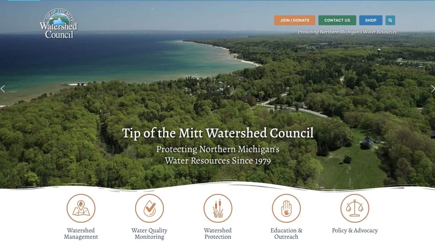
The webpage for each covered waterbody contains unique embedded maps and monitoring locations, displaying near real-time water quality data in a dynamic and responsive format. This accessible and user-friendly feature is now available on the Council’s website, redesigned by Downstream in 2023.
“My family has a long history in Michigan and a home on Walloon Lake, monitored by the Watershed Council, which makes this partnership with Tip of the Mitt even more gratifying,” said Downstream executive director Bill Howard. “The Commons is building the digital infrastructure for the environmental movement; our job at Downstream is to bring it to life for everyone to see and understand.”