The numbers alone are awe inspiring: 14 lakes with a surface area of 1,000 acres or more, 38 lakes between 100 and 1,000 acres, 184 between 10 and 100 acres, 1,600 lakes with less than 10 acres, and over 2,500 miles of rivers and streams. That’s the watershed protection area of Michigan’s Tip of the Mitt Watershed Council and their 25 watershed partners. Tip of the Mitt’s efforts include shoreline surveys, septic pollution, endangered species, aquatic invasive species, watershed priority parcels, inventorying stormwater and forestry resources, and policy work. With volunteers, Tip of the Mitt monitors 33 lakes and 11 streams for various parameters.
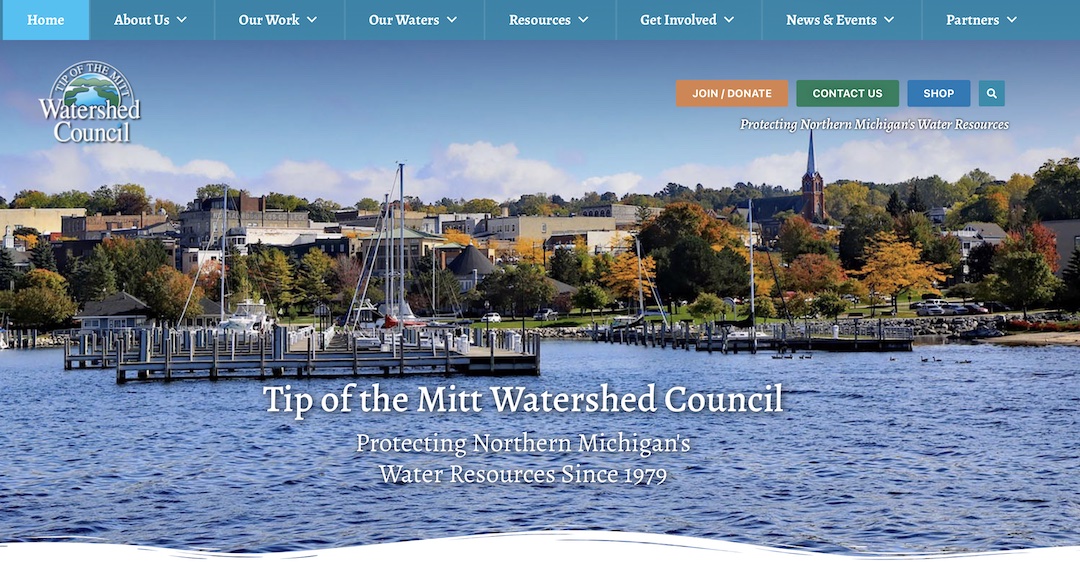
Communicating the breadth of this work and mobilizing support for such a complex array of programs is a huge challenge. The Downstream Project helped the Watershed Council bring its programs and successes into bright light by creating a web platform that enables visitors to interact digitally with a growing list of lakes, rivers, and streams. Visitors can find abundant research, guides, and resources in comprehensive reference libraries, along with descriptions and information about each waterbody.
“When we received a grant to build a new website that would serve as an online tool for water resource information, we didn’t know where to begin,” said Andrea Coronado, Tip of the Mitt Watershed Council communications and development director. “The team at The Downstream Project guided us from start to finish, creating a new website with incredible interactive features, easily navigable resources, and impactful imagery. Now we have a website that serves as an online resource not only for our organization but for our community as well.”
Next up, Tip of the Mitt and Downstream will partner with The Commons on a cloud-based data management modernization project. Mapping of sampling locations, historical data, and trends for each waterbody in the monitoring program will be displayed on the website using ArcGIS maps. The result will be one of the most significant water-focused data models in the United States, which can evolve into a multitude of visualizations, analysis dashboards, and layered story maps.